 |
 |
 |
 |
 |
 |
 |
 |
 |
 |
 |
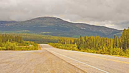
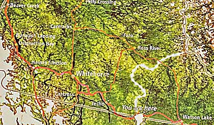
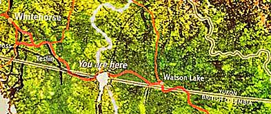
| The AlCan rises slightly, coming from the east, along the Rancheria River, top left. The Continental Divide is delineated by a white, curving line on the maps. The Rancheria River, running east is described above. The Swift River runs northwest into the Yukon River. The Yukon flows northwest, 2,300 miles to the Bering Sea. |
| AlCan Hwy ~ Continental Divide YT |